
Kealkill topographic map
Interactive map
Click on the map to display elevation.
About this map
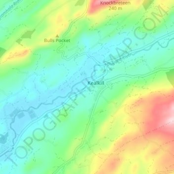
Name: Kealkill topographic map, elevation, terrain.
Location: Kealkill, County Cork, Munster, Ireland (51.72854 -9.40619 51.76854 -9.36619)
Average elevation: 84 m
Minimum elevation: 12 m
Maximum elevation: 251 m