
Menlough topographic map
Interactive map
Click on the map to display elevation.
About this map
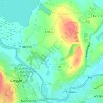
Name: Menlough topographic map, elevation, terrain.
Location: Menlough, Galway, County Galway, Connacht, Ireland (53.28136 -9.07914 53.31974 -9.02375)
Average elevation: 19 m
Minimum elevation: -2 m
Maximum elevation: 67 m
County Galway trails, hiking, mountain biking, running and outdoor activities
Other topographic maps
Click on a map to view its topography, its elevation and its terrain.