
Lochend topographic map
Interactive map
Click on the map to display elevation.
About this map
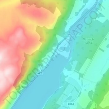
Name: Lochend topographic map, elevation, terrain.
Location: Lochend, Highland, Scotland, IV3 8JZ, United Kingdom (57.38940 -4.35751 57.42940 -4.31751)
Average elevation: 155 m
Minimum elevation: 7 m
Maximum elevation: 481 m