
Singa topographic map
Interactive map
Click on the map to display elevation.
About this map
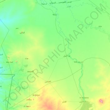
Name: Singa topographic map, elevation, terrain.
Location: Singa, Sennar State, Sudan (11.67454 33.08204 13.36110 34.34233)
Average elevation: 462 m
Minimum elevation: 400 m
Maximum elevation: 785 m