
Kampot topographic map
Interactive map
Click on the map to display elevation.
About this map
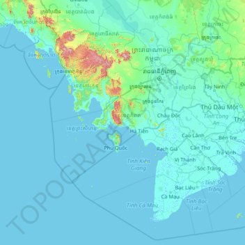
Name: Kampot topographic map, elevation, terrain.
Location: Kampot, Cambodia (8.07148 101.57264 13.19148 106.69264)
Average elevation: 43 m
Minimum elevation: -3 m
Maximum elevation: 1,678 m
Other topographic maps
Click on a map to view its topography, its elevation and its terrain.