
Holsbeek topographic map
Interactive map
Click on the map to display elevation.
About this map
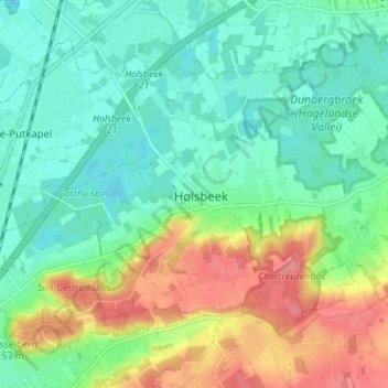
Name: Holsbeek topographic map, elevation, terrain.
Location: Holsbeek, Leuven, Flemish Brabant, Flanders, 3220, Belgium (50.90608 4.71563 50.93752 4.78534)
Average elevation: 31 m
Minimum elevation: 4 m
Maximum elevation: 82 m