
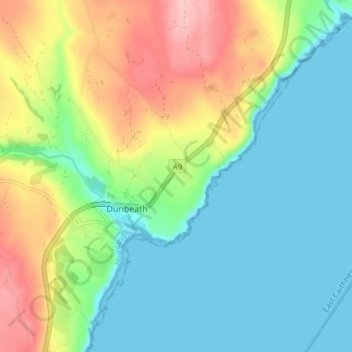
Inver topographic map
Interactive map
Click on the map to display elevation.
About this map
Name: Inver topographic map, elevation, terrain.
Location: Inver, Caithness, Scotland, KW6 6EH, United Kingdom (58.23190 -3.43689 58.27190 -3.39689)
Average elevation: 49 m
Minimum elevation: -1 m
Maximum elevation: 147 m