
Zamas topographic map
Interactive map
Click on the map to display elevation.
About this map
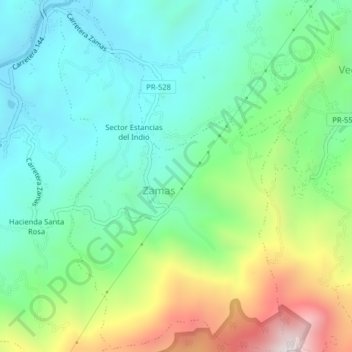
Name: Zamas topographic map, elevation, terrain.
Location: Zamas, Jayuya, Puerto Rico, USA (18.17215 -66.61862 18.21011 -66.59147)
Average elevation: 667 m
Minimum elevation: 386 m
Maximum elevation: 1,309 m
Other topographic maps
Click on a map to view its topography, its elevation and its terrain.
Las Piedras
USA > Puerto Rico > Las Piedras
Las Piedras, Puerto Rico, 00771, USA
Average elevation: 129 m