
Waldorf topographic map
Interactive map
Click on the map to display elevation.
About this map
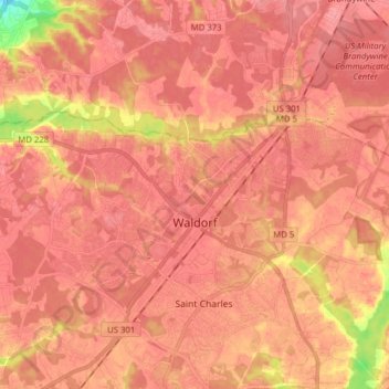
Name: Waldorf topographic map, elevation, terrain.
Location: Waldorf, Charles County, Maryland, 20601, USA (38.60875 -76.99845 38.66129 -76.84210)
Average elevation: 60 m
Minimum elevation: 3 m
Maximum elevation: 75 m