
Garfield Ridge topographic map
Interactive map
Click on the map to display elevation.
About this map
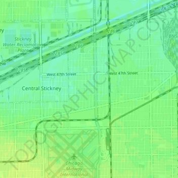
Name: Garfield Ridge topographic map, elevation, terrain.
Location: Garfield Ridge, Chicago, Cook County, Illinois, USA (41.78469 -87.80166 41.82210 -87.73764)
Average elevation: 184 m
Minimum elevation: 177 m
Maximum elevation: 190 m