
Stavoren topographic map
Interactive map
Click on the map to display elevation.
About this map
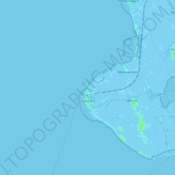
Name: Stavoren topographic map, elevation, terrain.
Location: Stavoren, Súdwest-Fryslân, Friesland, Netherlands (52.86597 5.21506 52.91610 5.38695)
Average elevation: 0 m
Minimum elevation: -4 m
Maximum elevation: 4 m