
Appalachian Mountains topographic map
Interactive map
Click on the map to display elevation.
About this map
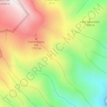
Name: Appalachian Mountains topographic map, elevation, terrain.
Average elevation: 1,463 m
Minimum elevation: 962 m
Maximum elevation: 2,002 m
The Appalachian Mountains (French: Appalaches), often called the Appalachians, are a system of mountains in eastern to northeastern North America. The Appalachians first formed roughly 480 million years ago during the Ordovician Period. They once reached elevations similar to those of the Alps and the Rocky Mountains before experiencing natural erosion. The Appalachian chain is a barrier to east–west travel, as it forms a series of alternating ridgelines and valleys oriented in opposition to most highways and railroads running east–west.