
Upton County topographic map
Interactive map
Click on the map to display elevation.
About this map
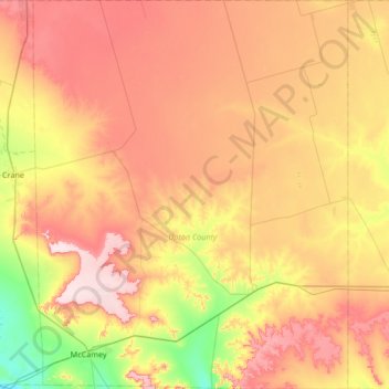
Name: Upton County topographic map, elevation, terrain.
Location: Upton County, Texas, United States of America (31.07976 -102.31789 31.65164 -101.77498)
Average elevation: 825 m
Minimum elevation: 695 m
Maximum elevation: 958 m
Other topographic maps
Click on a map to view its topography, its elevation and its terrain.