
Kasal topographic map
Interactive map
Click on the map to display elevation.
About this map
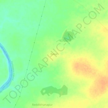
Name: Kasal topographic map, elevation, terrain.
Location: Kasal, Hathnoora mandal, Sangareddy, Telangana, 502296, India (17.69093 78.15289 17.73093 78.19289)
Average elevation: 503 m
Minimum elevation: 486 m
Maximum elevation: 518 m