
Chesterfield County topographic map
Interactive map
Click on the map to display elevation.
About this map
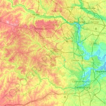
Name: Chesterfield County topographic map, elevation, terrain.
Location: Chesterfield County, Virginia, United States of America (37.21699 -77.87848 37.56243 -77.24417)
Average elevation: 63 m
Minimum elevation: -14 m
Maximum elevation: 154 m
Other topographic maps
Click on a map to view its topography, its elevation and its terrain.