
Jubayt topographic map
Interactive map
Click on the map to display elevation.
About this map
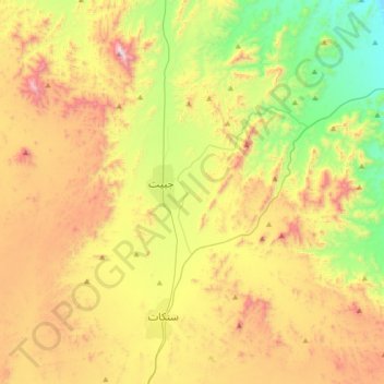
Name: Jubayt topographic map, elevation, terrain.
Location: Jubayt, Sinkat District, Red Sea State, Sudan (18.83083 36.72305 19.05960 37.07488)
Average elevation: 872 m
Minimum elevation: 374 m
Maximum elevation: 1,545 m
Other topographic maps
Click on a map to view its topography, its elevation and its terrain.
Sinkat
Sudan > Red Sea State > Sinkat District
Sinkat, Sinkat District, Red Sea State, Sudan
Average elevation: 921 m