
Starr County topographic map
Interactive map
Click on the map to display elevation.
About this map
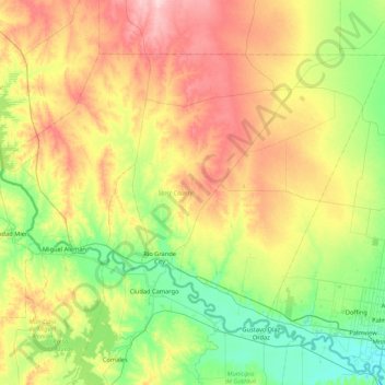
Name: Starr County topographic map, elevation, terrain.
Location: Starr County, Texas, United States of America (26.23527 -99.17194 26.78568 -98.32076)
Average elevation: 98 m
Minimum elevation: 31 m
Maximum elevation: 215 m
Other topographic maps
Click on a map to view its topography, its elevation and its terrain.