
Deux Choux topographic map
Interactive map
Click on the map to display elevation.
About this map
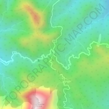
Name: Deux Choux topographic map, elevation, terrain.
Average elevation: 607 m
Minimum elevation: 381 m
Maximum elevation: 1,031 m
Other topographic maps
Click on a map to view its topography, its elevation and its terrain.
Fonds-Saint-Denis
France > Martinique > Fonds-Saint-Denis
Fonds-Saint-Denis, Saint-Pierre, Martinique, 97250, France
Average elevation: 498 m