
La Gorra topographic map
Interactive map
Click on the map to display elevation.
About this map
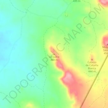
Name: La Gorra topographic map, elevation, terrain.
Location: La Gorra, Bardenas Reales de Navarra, Navarre, Spain (42.24286 -1.42012 42.24296 -1.42002)
Average elevation: 381 m
Minimum elevation: 336 m
Maximum elevation: 456 m