
Joda topographic map
Interactive map
Click on the map to display elevation.
About this map
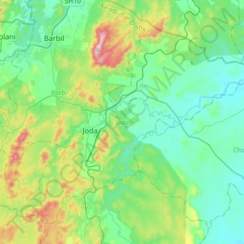
Name: Joda topographic map, elevation, terrain.
Location: Joda, Kendujhar, Odisha, 758034, India (21.93564 85.34815 22.12912 85.59747)
Average elevation: 513 m
Minimum elevation: 392 m
Maximum elevation: 901 m
Other topographic maps
Click on a map to view its topography, its elevation and its terrain.