
Burt County topographic map
Interactive map
Click on the map to display elevation.
About this map
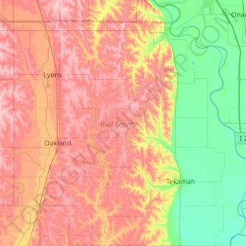
Name: Burt County topographic map, elevation, terrain.
Location: Burt County, Nebraska, United States of America (41.68199 -96.55530 42.04724 -96.06454)
Average elevation: 373 m
Minimum elevation: 302 m
Maximum elevation: 447 m