
Lost Lake Woods topographic map
Interactive map
Click on the map to display elevation.
Lost Lake Woods
EST 1926 .Lost Lake Woods is at 44°46′37″N 83°25′28″W / 44.77694°N 83.42444°W / 44.77694; -83.42444. The FIPS place code is 26-49450 and the elevation is about 830 feet (250 m) above sea level.
About this map
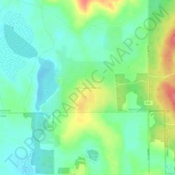
Name: Lost Lake Woods topographic map, elevation, terrain.
Average elevation: 248 m
Minimum elevation: 225 m
Maximum elevation: 294 m