Ballyadam topographic map
Interactive map
Click on the map to display elevation.
About this map
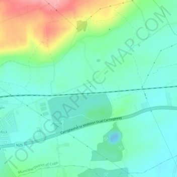
Name: Ballyadam topographic map, elevation, terrain.
Location: Ballyadam, Carrigtohill, Cobh, County Cork, Munster, Ireland (51.91170 -8.24347 51.92588 -8.22094)
Average elevation: 34 m
Minimum elevation: -7 m
Maximum elevation: 124 m
Other topographic maps
Click on a map to view its topography, its elevation and its terrain.
Cork Harbour
Cork Harbour, The Valley Road, Ballymore, Cobh Rural, Cobh, County Cork, Munster, P25A062, Ireland
Average elevation: 3 m
Castleview
Castleview, Caherlag, Cobh, County Cork, Munster, T45 KW40, Ireland
Average elevation: 31 m
Rushbrooke
Rushbrooke, Cobh Urban, Cobh, County Cork, Munster, T12 TW44, Ireland
Average elevation: 30 m
Dromgarriff
Dromgarriff, Blackpool, Cobh, County Cork, Munster, Ireland
Average elevation: 165 m