
Bray topographic map
Interactive map
Click on the map to display elevation.
About this map
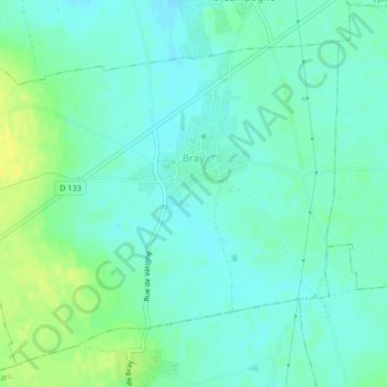
Name: Bray topographic map, elevation, terrain.
Location: Bray, Bernay, Eure, Normandy, Metropolitan France, 27170, France (49.09207 0.81552 49.11609 0.85703)
Average elevation: 150 m
Minimum elevation: 143 m
Maximum elevation: 163 m
Other topographic maps
Click on a map to view its topography, its elevation and its terrain.