
Dorchester topographic map
Interactive map
Click on the map to display elevation.
About this map
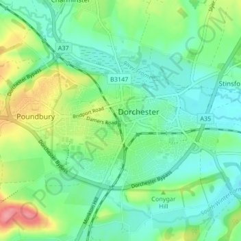
Name: Dorchester topographic map, elevation, terrain.
Location: Dorchester, Dorset, England, United Kingdom (50.69972 -2.47376 50.72363 -2.40616)
Average elevation: 72 m
Minimum elevation: 48 m
Maximum elevation: 134 m
Other topographic maps
Click on a map to view its topography, its elevation and its terrain.
West Lulworth
United Kingdom > England > Dorset
West Lulworth, Dorset, England, United Kingdom
Average elevation: 84 m