
Clay County topographic map
Interactive map
Click on the map to display elevation.
About this map
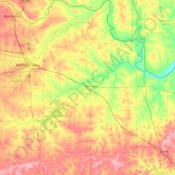
Name: Clay County topographic map, elevation, terrain.
Location: Clay County, Texas, United States of America (33.46623 -98.42337 34.15711 -97.94700)
Average elevation: 295 m
Minimum elevation: 233 m
Maximum elevation: 368 m
Other topographic maps
Click on a map to view its topography, its elevation and its terrain.