
Shawnee County topographic map
Interactive map
Click on the map to display elevation.
About this map
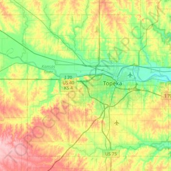
Name: Shawnee County topographic map, elevation, terrain.
Location: Shawnee County, Kansas, United States (38.86887 -96.03909 39.21670 -95.50025)
Average elevation: 315 m
Minimum elevation: 258 m
Maximum elevation: 418 m
Other topographic maps
Click on a map to view its topography, its elevation and its terrain.
Longford
United States > Kansas > Clay County > Longford
Longford, Clay County, Kansas, United States
Average elevation: 407 m