
Straw topographic map
Interactive map
Click on the map to display elevation.
About this map
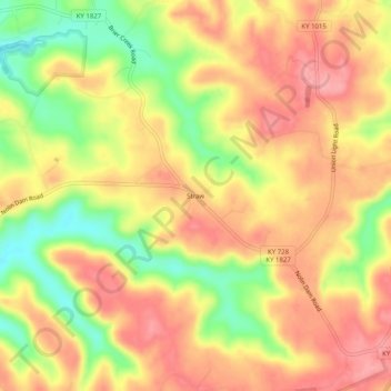
Name: Straw topographic map, elevation, terrain.
Location: Straw, Edmonson County, Kentucky, 42259, USA (37.25588 -86.19247 37.29588 -86.15247)
Average elevation: 225 m
Minimum elevation: 156 m
Maximum elevation: 272 m