
Findlay topographic map
Interactive map
Click on the map to display elevation.
About this map
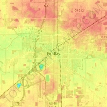
Name: Findlay topographic map, elevation, terrain.
Location: Findlay, Hancock County, Ohio, USA (40.99265 -83.68940 41.08993 -83.57347)
Average elevation: 243 m
Minimum elevation: 211 m
Maximum elevation: 261 m