
Shady Grove Corner topographic map
Interactive map
Click on the map to display elevation.
About this map
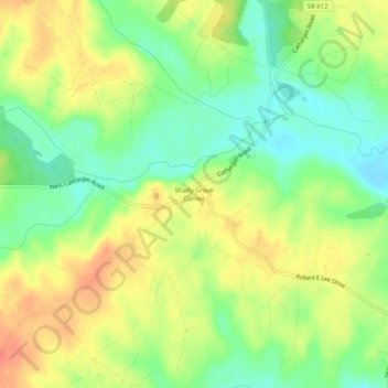
Name: Shady Grove Corner topographic map, elevation, terrain.
Location: Shady Grove Corner, Spotsylvania County, Virginia, USA (38.20180 -77.73110 38.24180 -77.69110)
Average elevation: 95 m
Minimum elevation: 68 m
Maximum elevation: 123 m