
Red Bay topographic map
Interactive map
Click on the map to display elevation.
About this map
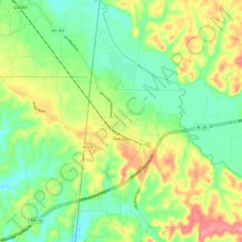
Name: Red Bay topographic map, elevation, terrain.
Location: Red Bay, Franklin County, Alabama, 35582, United States (34.40380 -88.16155 34.49085 -88.10254)
Average elevation: 177 m
Minimum elevation: 141 m
Maximum elevation: 230 m