
Longford topographic map
Interactive map
Click on the map to display elevation.
About this map
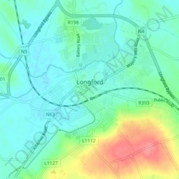
Name: Longford topographic map, elevation, terrain.
Location: Longford, County Longford, Leinster, N39 V9W3, Ireland (53.70804 -7.81650 53.74430 -7.75235)
Average elevation: 59 m
Minimum elevation: 39 m
Maximum elevation: 116 m