
Linden topographic map
Interactive map
Click on the map to display elevation.
About this map
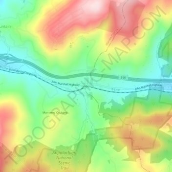
Name: Linden topographic map, elevation, terrain.
Location: Linden, Warren County, Virginia, 22642, United States (38.88900 -78.09555 38.92900 -78.05555)
Average elevation: 369 m
Minimum elevation: 232 m
Maximum elevation: 543 m