
Goat Island topographic map
Interactive map
Click on the map to display elevation.
About this map
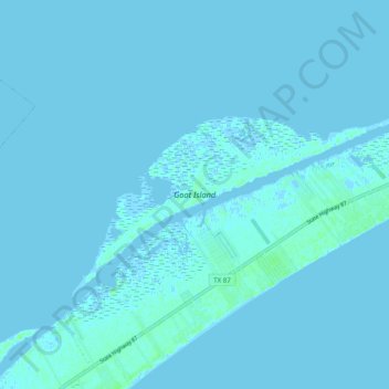
Name: Goat Island topographic map, elevation, terrain.
Location: Goat Island, Galveston County, Texas, United States (29.43802 -94.70489 29.48318 -94.60656)
Average elevation: 1 m
Minimum elevation: -3 m
Maximum elevation: 7 m
Other topographic maps
Click on a map to view its topography, its elevation and its terrain.
Bolivar Peninsula
United States > Texas > Galveston County > Bolivar Peninsula
Bolivar Peninsula, Galveston County, Texas, 77652, United States
Average elevation: 1 m
Port Bolivar
United States > Texas > Galveston County > Port Bolivar
Port Bolivar, Galveston County, Texas, United States
Average elevation: 1 m
Crystal Beach
United States > Texas > Galveston County > Crystal Beach
Crystal Beach, Galveston County, Texas, 77652, United States
Average elevation: 1 m
Galveston County
United States > Texas > Galveston County
Galveston County, Texas, United States
Average elevation: 4 m