
Atoka County topographic map
Interactive map
Click on the map to display elevation.
About this map
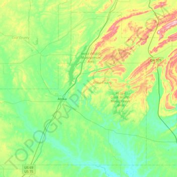
Name: Atoka County topographic map, elevation, terrain.
Location: Atoka County, Oklahoma, United States (34.15665 -96.40765 34.68045 -95.67165)
Average elevation: 207 m
Minimum elevation: 132 m
Maximum elevation: 439 m