
Loch Linden topographic map
Interactive map
Click on the map to display elevation.
About this map
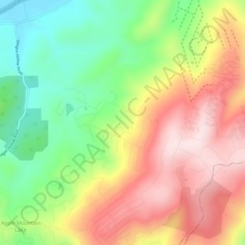
Name: Loch Linden topographic map, elevation, terrain.
Location: Loch Linden, Warren County, Virginia, 22642, United States (38.91928 -78.10083 38.95928 -78.06083)
Average elevation: 344 m
Minimum elevation: 132 m
Maximum elevation: 567 m