
Rakovica topographic map
Interactive map
Click on the map to display elevation.
About this map
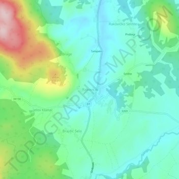
Name: Rakovica topographic map, elevation, terrain.
Location: Rakovica, Općina Rakovica, Karlovac County, 47245, Croatia (44.97473 15.62828 45.01473 15.66828)
Average elevation: 401 m
Minimum elevation: 329 m
Maximum elevation: 596 m