
Jonesboro topographic map
Interactive map
Click on the map to display elevation.
About this map
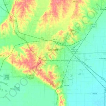
Name: Jonesboro topographic map, elevation, terrain.
Location: Jonesboro, Craighead County, Arkansas, United States (35.74859 -90.78704 35.89330 -90.55190)
Average elevation: 90 m
Minimum elevation: 67 m
Maximum elevation: 135 m