
Shenandoah topographic map
Interactive map
Click on the map to display elevation.
About this map
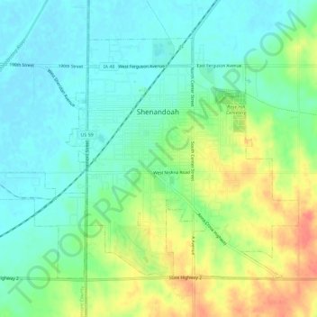
Name: Shenandoah topographic map, elevation, terrain.
Location: Shenandoah, Page County, Iowa, United States (40.74278 -95.40399 40.77553 -95.34703)
Average elevation: 310 m
Minimum elevation: 289 m
Maximum elevation: 350 m