
Skunk Pond (Elevation 1100 feet) topographic map
Interactive map
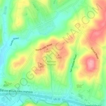
Click on the map to display elevation.
About this map
Name: Skunk Pond (Elevation 1100 feet) topographic map, elevation, terrain.
Average elevation: 323 m
Minimum elevation: 272 m
Maximum elevation: 392 m