
Portsalon topographic map
Interactive map
Click on the map to display elevation.
About this map
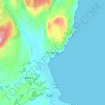
Name: Portsalon topographic map, elevation, terrain.
Location: Portsalon, County Donegal, Ireland (55.18889 -7.64234 55.22889 -7.60234)
Average elevation: 27 m
Minimum elevation: 0 m
Maximum elevation: 166 m