
Fort Meade topographic map
Interactive map
Click on the map to display elevation.
About this map
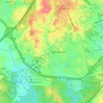
Name: Fort Meade topographic map, elevation, terrain.
Location: Fort Meade, Anne Arundel County, Maryland, United States (39.07320 -76.77785 39.13282 -76.70923)
Average elevation: 53 m
Minimum elevation: 25 m
Maximum elevation: 95 m