
Berlevåg topographic map
Interactive map
Click on the map to display elevation.
About this map
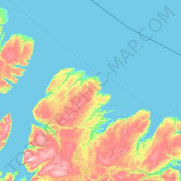
Name: Berlevåg topographic map, elevation, terrain.
Location: Berlevåg, Troms og Finnmark, Norway (70.47681 28.38527 71.12070 30.05206)
Average elevation: 120 m
Minimum elevation: -1 m
Maximum elevation: 709 m
Other topographic maps
Click on a map to view its topography, its elevation and its terrain.
Láhpoluoppal
Láhpoluoppal, Kautokeino, Troms og Finnmark, Norway
Average elevation: 347 m