
Drumcliff topographic map
Interactive map
Click on the map to display elevation.
About this map
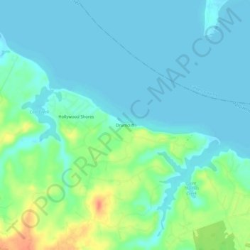
Name: Drumcliff topographic map, elevation, terrain.
Location: Drumcliff, Saint Mary's County, Maryland, 20615, USA (38.37012 -76.58968 38.41012 -76.54968)
Average elevation: 11 m
Minimum elevation: -1 m
Maximum elevation: 46 m