
Atlantic Basin topographic map
Interactive map
Click on the map to display elevation.
About this map
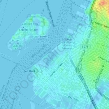
Name: Atlantic Basin topographic map, elevation, terrain.
Location: Atlantic Basin, New York County, New York, 11231, USA (40.68311 -74.01102 40.68321 -74.01092)
Average elevation: 4 m
Minimum elevation: -6 m
Maximum elevation: 41 m
Other topographic maps
Click on a map to view its topography, its elevation and its terrain.