
Grant County topographic map
Interactive map
Click on the map to display elevation.
About this map
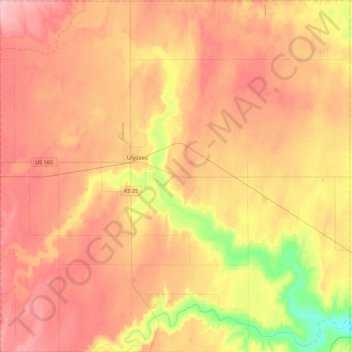
Name: Grant County topographic map, elevation, terrain.
Location: Grant County, Kansas, 67880, USA (37.38831 -101.52705 37.73697 -101.08812)
Average elevation: 934 m
Minimum elevation: 864 m
Maximum elevation: 982 m
Other topographic maps
Click on a map to view its topography, its elevation and its terrain.
Westmoreland
USA > Kansas > Westmoreland
Westmoreland, Pottawatomie County, Kansas, USA
Average elevation: 371 m