
Hollyhill topographic map
Interactive map
Click on the map to display elevation.
About this map
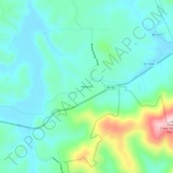
Name: Hollyhill topographic map, elevation, terrain.
Location: Hollyhill, McCreary County, Kentucky, USA (36.64314 -84.35021 36.68314 -84.31021)
Average elevation: 384 m
Minimum elevation: 308 m
Maximum elevation: 651 m