
Villamanín topographic map
Interactive map
Click on the map to display elevation.
About this map
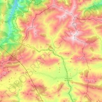
Name: Villamanín topographic map, elevation, terrain.
Location: Villamanín, León, Castile and León, Spain (42.90878 -5.83814 43.05688 -5.61148)
Average elevation: 1,440 m
Minimum elevation: 564 m
Maximum elevation: 2,177 m