
Grangemore topographic map
Interactive map
Click on the map to display elevation.
About this map
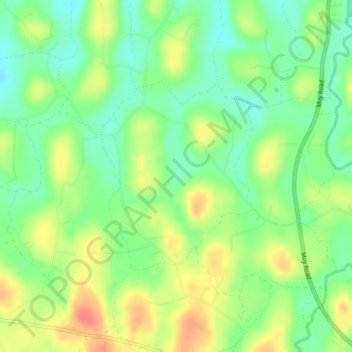
Name: Grangemore topographic map, elevation, terrain.
Average elevation: 40 m
Minimum elevation: 16 m
Maximum elevation: 69 m
Other topographic maps
Click on a map to view its topography, its elevation and its terrain.
Derryhubbert North
United Kingdom > Northern Ireland > Armagh
Derryhubbert North, Armagh, County Armagh, Northern Ireland, BT71 6NW, United Kingdom
Average elevation: 20 m
Tall River
United Kingdom > Northern Ireland > Armagh
Tall River, Armagh, County Armagh, Northern Ireland, BT61 9PP, United Kingdom
Average elevation: 41 m