
Penygroes topographic map
Interactive map
Click on the map to display elevation.
About this map
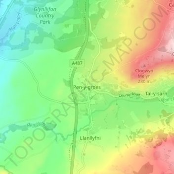
Name: Penygroes topographic map, elevation, terrain.
Location: Penygroes, Gwynedd, Wales, LL54 6RG, United Kingdom (53.03446 -4.29465 53.07446 -4.25465)
Average elevation: 135 m
Minimum elevation: 27 m
Maximum elevation: 345 m